 vesseltracker.com
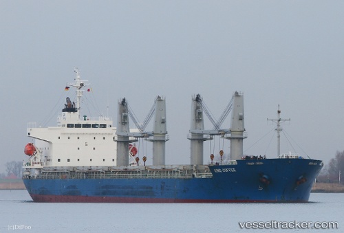
Find the position of the vessel KING M on the map. The latter are known coordinates and path.
marine traffic ship tracker show on live map
The current position of vessel KING M is 45.10753 lat / 29.89894 lng. Updated: 2025-10-28 01:47:56 UTCCurrently sailing under the flag of Panama
KING M built in 2012 year
Deadweight:
32809 tDetails:
Last coordinates of the vessel:
2025-10-28 01:47:56 UTC, 45.10753, 29.89894, course: 329, speed: 12.5